Hams Bluff Lighthouse
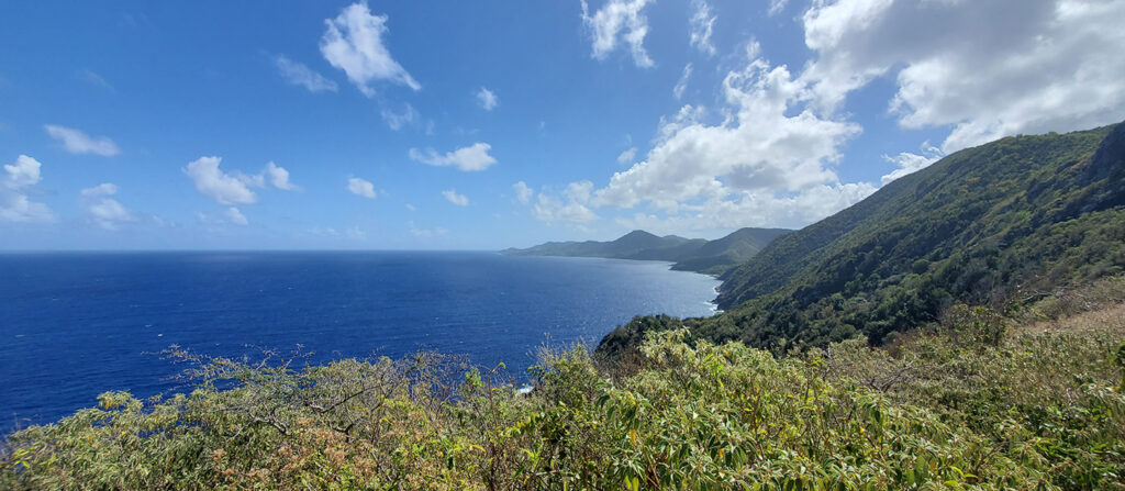
The historic Hams Bluff Lighthouse sits on Hams Bluff overlooking the North Shore and West End of St. Croix, about 360 feet above sea level. The hike up is short but very intense, but once you reach the lighthouse the views are breathtaking and the winds gusting across Hams Bluff provide a nice cooling effect after the exertion of the uphill hike. As you look towards the North Shore you can see the Carambola Beach Resort, Annaly Bay, and Davis Bay. Looking towards the West End you can take in the beauty of Hams Bluff and see the waves crashing in Hams Bay.
Location: West End
Distance: 1.6 miles (roundtrip from the trailhead)
Approximate Time: 45 minutes - 1 hour (roundtrip)
Highest Elevation: 360 feet
Lighthouse Location: 17°46′9″N 64°52′17″W (17.76917°N 64.87139°W)
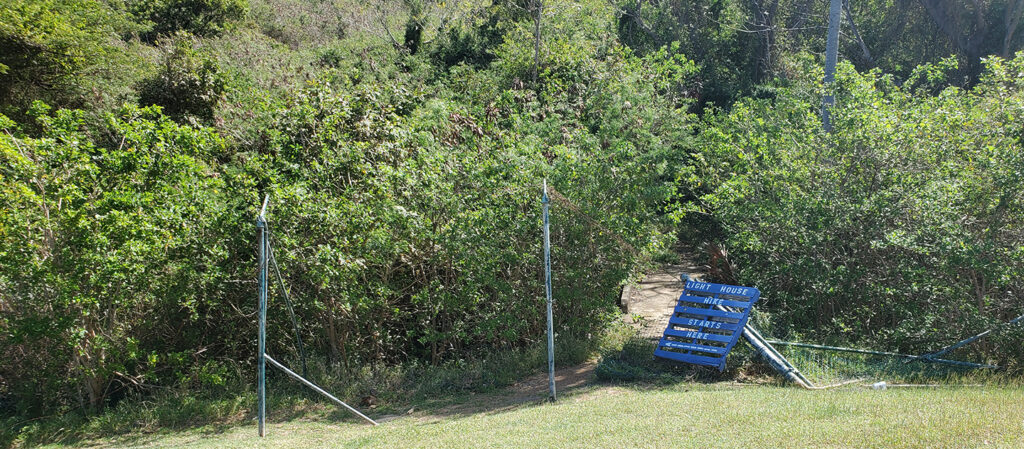
Trailhead Location: From the parking area at the National Guard facility, walk around the left side (ocean side) along the outside of the facility’s fence. When you get to the back of the facility, look for a gate in the fence (usually closed). At the gate, take the trail to the left, which crosses a small gut and then leads up hill to the lighthouse. Sometimes there is a blue handmade pallet sign marking the trailhead. (Note: Last time we hiked this trail the fence was still knocked down from Hurricane Maria and you could walk across the facility grounds right to the trailhead.)

Map created by DWHIKE
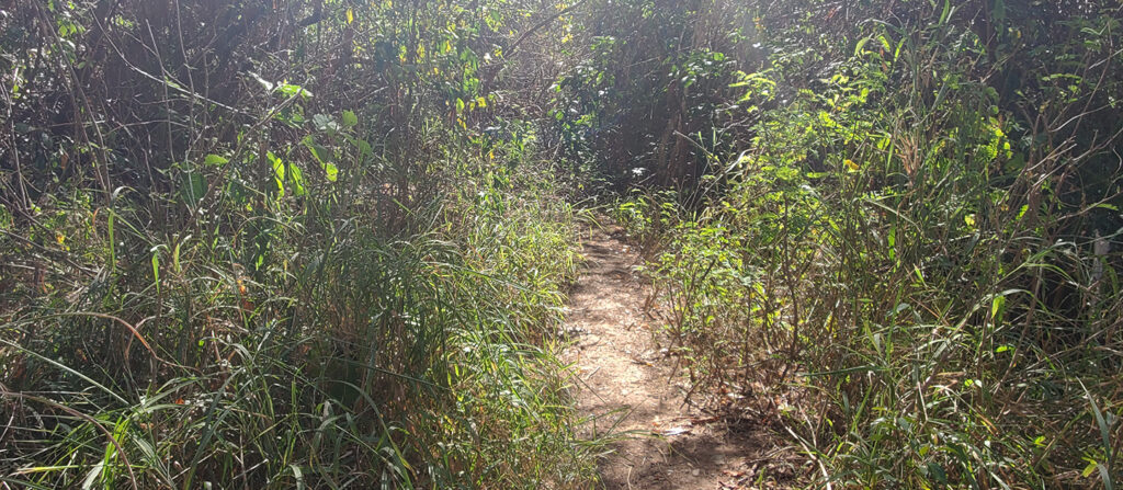
Directions: The trail is usually well-traveled, so it's easy to find. Simply follow the trail up the hill, being careful of the loose rocks since it is a steep hike. The trail is mostly forest and therefore shaded, but can be overgrown in sections.
Guided Tours: If you're not comfortable doing the hike alone, you can take a guided hike with Fitness Integrated Tours. This would also allow you to learn about the history, culture, botany and local environment of Hams Bluff as well as Maroon Ridge.
The hike is short timewise, about 20 minutes one way. Although the terrain is moderate to steep, the trail is mostly forest and shaded. You'll often see families and people taking their dogs on this hike since it is relatively short. As you hike along the trail, be on the lookout for lizards, hermit crabs, butterflies and the occasional mongoose. At the top of the hill is the historic Hams Bluff Lighthouse with nice views of the ocean, and views of the coastal hills known as the Maroons. On clear days, you can see other islands to the north and west.

Current condition of Hams Bluff Lighthouse
A brief history of Hams Bluff Lighthouse:
The lighthouse was designed and built by the Danish between 1913 and 1915, and was originally operated by lighthouse keeper A.L.F.L. Madsen. It is situated on the northwestern coast of St. Croix, on a bluff Hams Bluff which rises approximately 360 feet above sea level. Constructed of cast iron on a concrete foundation, this cylindrical lighthouse originally was painted white with a black cupola. In 1917 the Danish West Indies were sold to the United States, at which point the U.S. Coast Guard took over operation of the lighthouse. The lighthouse was listed on the United States National Register of Historic Places in 2019 (NRHP reference No. 100004382).

Unfortunately, the lighthouse was deactivated in the mid-1990s and is now deteriorating. The historic tower has been abandoned; the beacon is now mounted on an adjacent new truss tower. The light displays two white flashes every 30 seconds at a focal plane of 394 feet (120 m).
- While much of the trail is shaded, there is not always shade at the top of the hill so be sure to wear lots of sun protection.
- There are no amenities, so bring plenty of water.
- Since the terrain is rocky and uneven, wear sturdy footwear that ties or straps onto your feet.
- For your safety, do not hike alone, and proceed only if you are physically fit enough to complete a hike safely.
- Vehicles can be parked at the National Guard Facility from which you can walk to the trailhead.
- Do not leave any valuables in your car while hiking.
Directions:
From Frederiksted, take Route 63 north. The road closely follows the shoreline for about 3 miles and then turns inland. When you can no longer see the ocean, look for the first narrow road on the left, marked by two pillars, and turn left onto that road (which is still Route 63). Follow the road for about 1/2 a mile until it ends at the National Guard facility and park near the facility. The road is usually in bad condition, so drive carefully.
St. Croix Poster Series: Hams Bluff Lighthouse


